
Europe’s unified geospatial intelligence layer
All points of interest · All regions · One platform

One transparant Datafoundation
A Unified Platform for Urban Locations & Zones
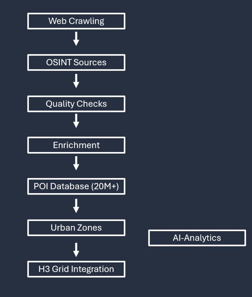
Geopulz stands for Geographic Platform for Urban Locations and Zones. Our Dataplatform combines advanced web‑crawling pipelines, open‑source intelligence, automated quality checks and deep structural enrichment.
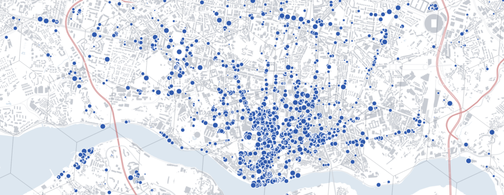
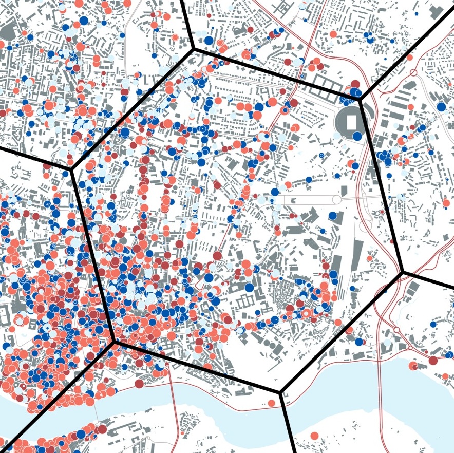
At its core is a continuously updated Point‑of‑Interest database of 20M+ locations, enriched with millions of urban zones, administrative areas and H3‑grid cells. This combination enables powerful, hyperlocal analytics at unprecedented scale and precision.
A unique hierarchical structure
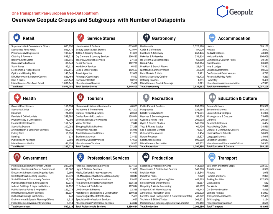
Granularity Across 20M+ Locations
Our POI‑database contains 20 million+ locations, classified into a rich hierarchical structure:
- 12 Groups
- 144 Subgroups
- 900+ Categories
This taxonomy enables detailed filtering, segmentation and thematic analysis across all European markets.
Geographic Zones
Standardised Administrative and Urban Boundaries
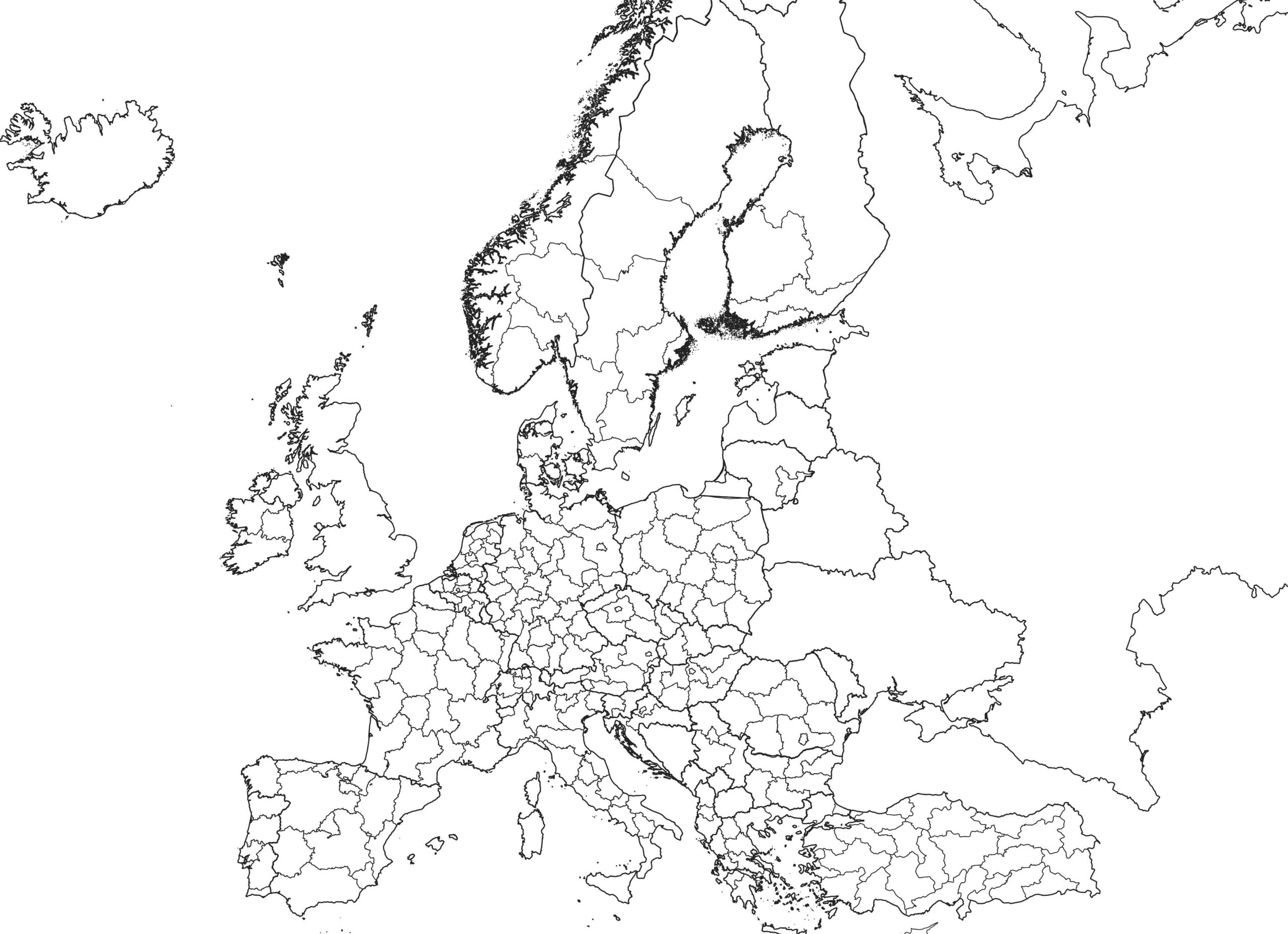
Our Geographic Zones are based on Eurostat, national statistics offices and local demographic datasets. The database follows Eurostat’s geographic hierarchy across 34 countries, including:
- regions
- sub‑regions
- municipalities
- neighbourhood‑level areas
Each zone is enriched with demographic, economic and spatial indicators, enabling precise market intelligence and location‑based analysis.In addition, Geopulz integrates H3: the Hexagonal Hierarchical Spatial Index, enabling uniform spatial analytics across countries and datas
Built on 1,000+ Verified Web Sources.
Data Methodology
Geopulz structures every point of activity across multiple geographic layers — from countries and regions to municipalities, neighborhoods and the highly granular H3 grid. This multi‑scale model creates a precise spatial context for each place, enabling AI tools to identify patterns, similarities and anomalies across Europe. By combining hierarchical classification with geographic layering, Geopulz makes benchmarking and spatial comparison transparent, consistent and highly scalable.
Learn more →
Analytics Engine
Dataplatform Intelligence
Within the Geopulz Dataplatform, all POIs, geographic layers and hierarchical structures come together. This unified environment enables:
- hyperlocal AI‑analytics
- cross‑country comparability
- movement and trend detection (quarterly updates)
- deep spatial segmentation
- predictive modelling
Because the platform is updated every quarter, changes, openings, closures and shifts become visible over time. This ensures a reliable, consistent and comparable dataset across all countries.
Geopulz Data Access
Flexible Data Products & Integration Options
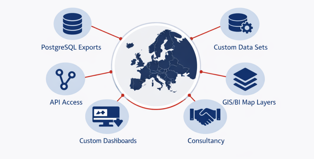
Geopulz offers flexible data delivery options tailored to your workflow:
We offer flexible data access that seamlessly fits any workflow – from raw data sources to real time integration and strategic insights

Contact
info@geopulz.com
Rua de Brito Capelo 1127
4450-070 Matosinhos, Portugal
Linkedin